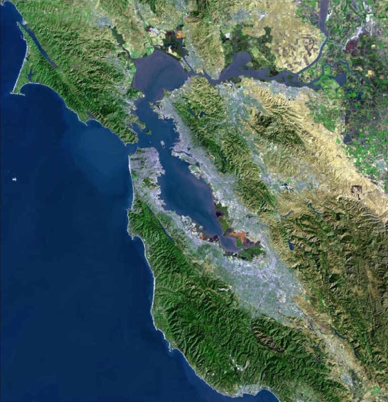

San Francisco Bay and Delta Aerial Photo.
Photo courtesy of US Geological Survey.
San Francisco Bay
San Francisco Bay is a large estuary on the West Coast in the State of California. Within the Bay is a vast delta that is formed by the Sacramento and San Joaquin Rivers as they empty into the Bay. The delta provides a nursery for juvenile striped bass that result from spawning in the rivers feeding the delta.
In years back, up to 40 % of California's rainfall and snow melt drained into the San Francisco Bay. Much of this water is now diverted into approximately 2000 small agricultural projects and the California Aqueduct System, which supplies freshwater water to central and southern California.

Water quality in the Bay is also under stress from the continued real estate development in the Bay area.
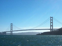
Where the Bay empties into the Pacific Ocean it is spanned by the Golden Gate Bridge, the second longest suspension bridge in the US, after the Verrazano Bridge in New York City. The water under the bridge is 360 feet deep. The main portion of the Bay has an average depth of 43 feet. The Bay has a shoreline of 240 miles.

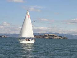
Sailing in San Francisco Bay with
Alcatraz in the background
The Bay provides a popular recreational outlet for people living in the area. Boating, bird watching, sailing and fishing are all enthusiastically pursued.
San Francisco is a thriving international port, receiving shipments from
around the world including stowaway organisms in ballast water. Many invasive species have shown
up in
the bay; most probably making their transit in ballast water. One of the worse is the Asian clam. The
rapid growth of the Asian clam population is an environmental concern because of its negative impact
on native shellfish and invertebrates, which provide food sources for baby salmon and striped bass.